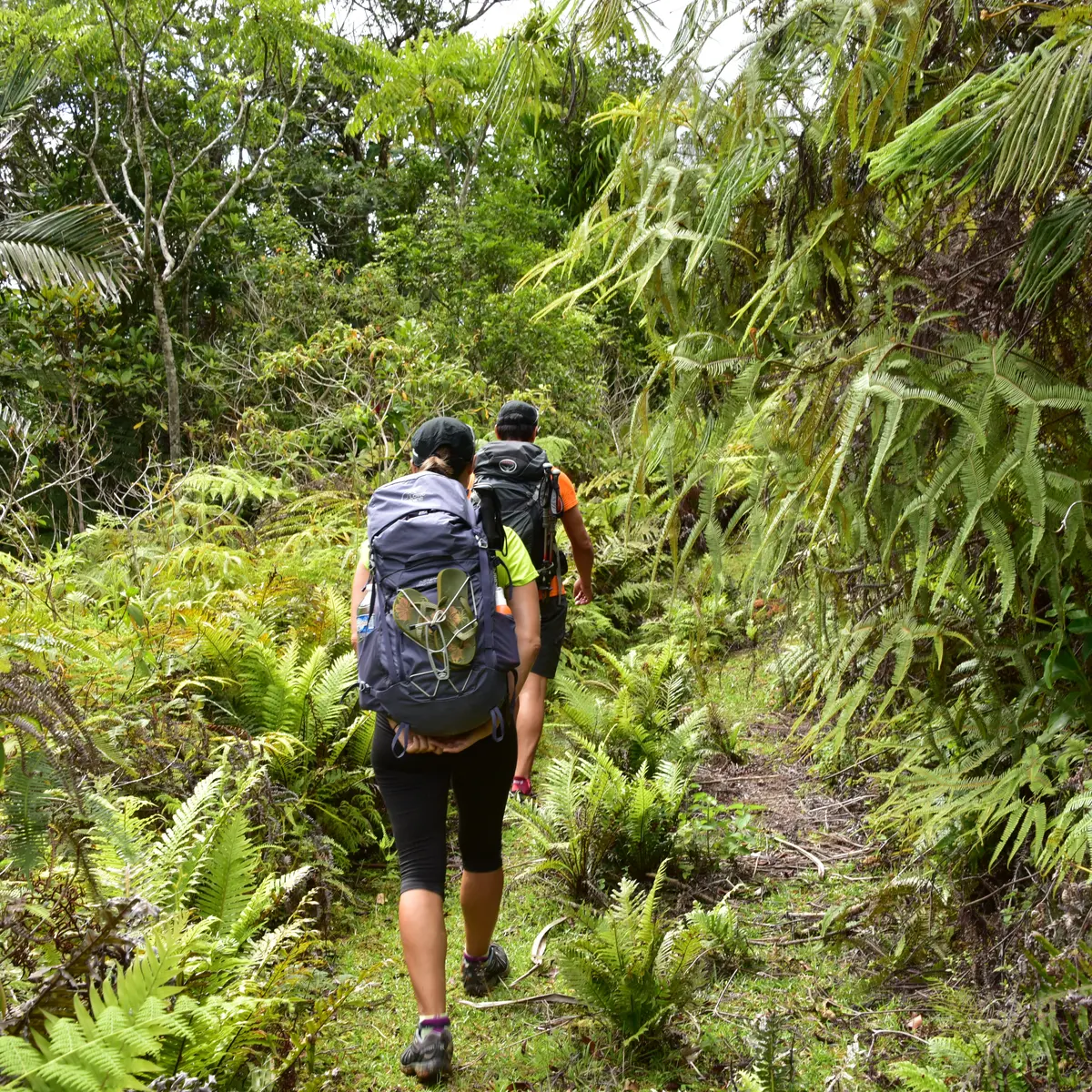
This first stage allows you to reach the great valley of Câba (Tchamba) by crossing the long ridge that stretches between the peaks of Pwè Tuyè, Görö Ö and Görö Arètua. Beautiful views as you progress along the ridge dotted with mounds.
D Departure (GPS: 529 925 – 7 673 598; alt. 63 m): start on the grassy track, towards the N in the direction of the power pole. After the last two dwellings, the valley then curves towards the west along the RD of Nènari Wepa [the route follows the water catchment maintenance track]. The route reaches the first ford, which allows you to cross the river.
1 Creek (GPS: 530 576 – 7 668 928; alt. 66 m): it then turns towards the E, and leaves the humid forest quite quickly to emerge in the niaouli savannah by moving towards the N before plunging towards a second ford. Then a third, at a place called “Wêêdé”.
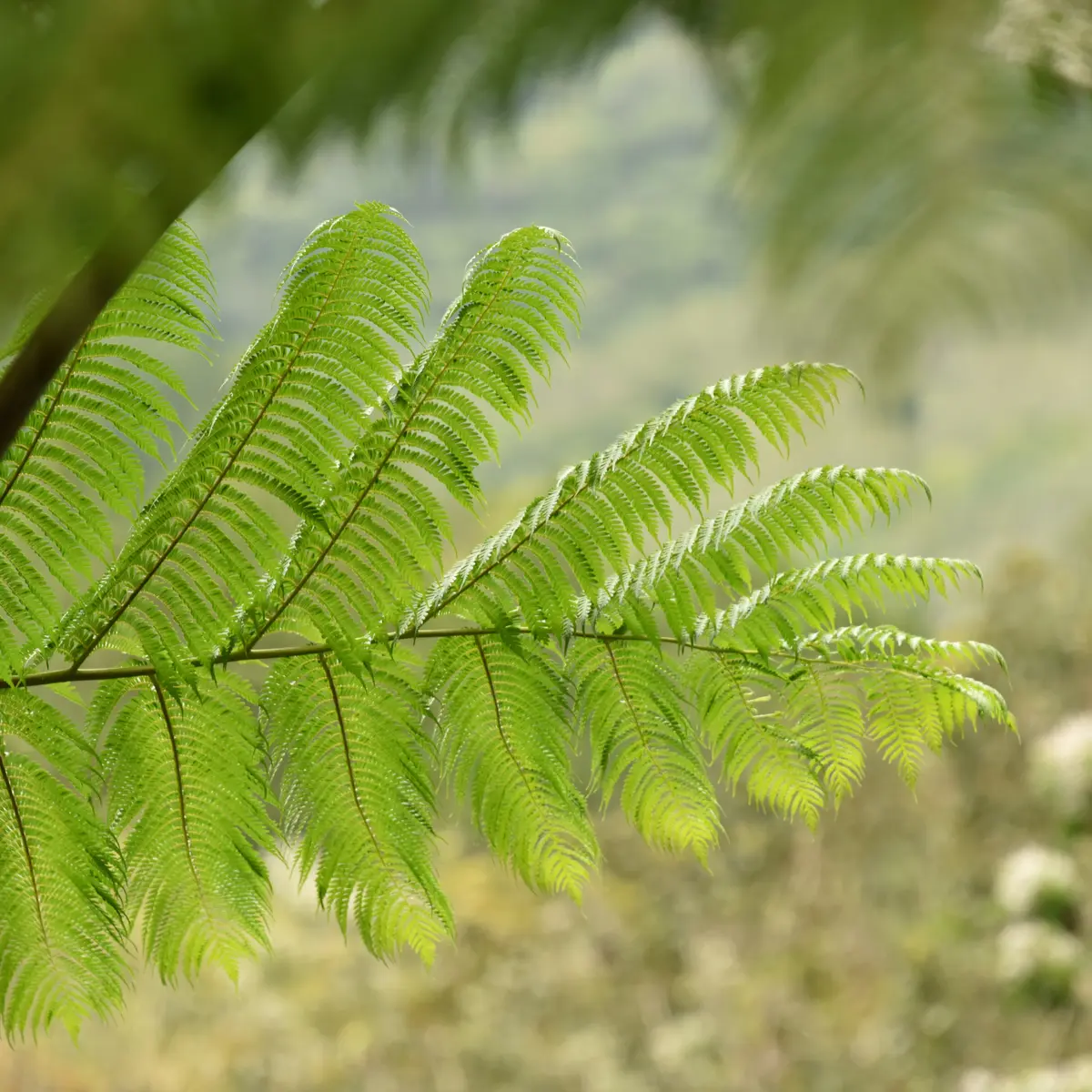
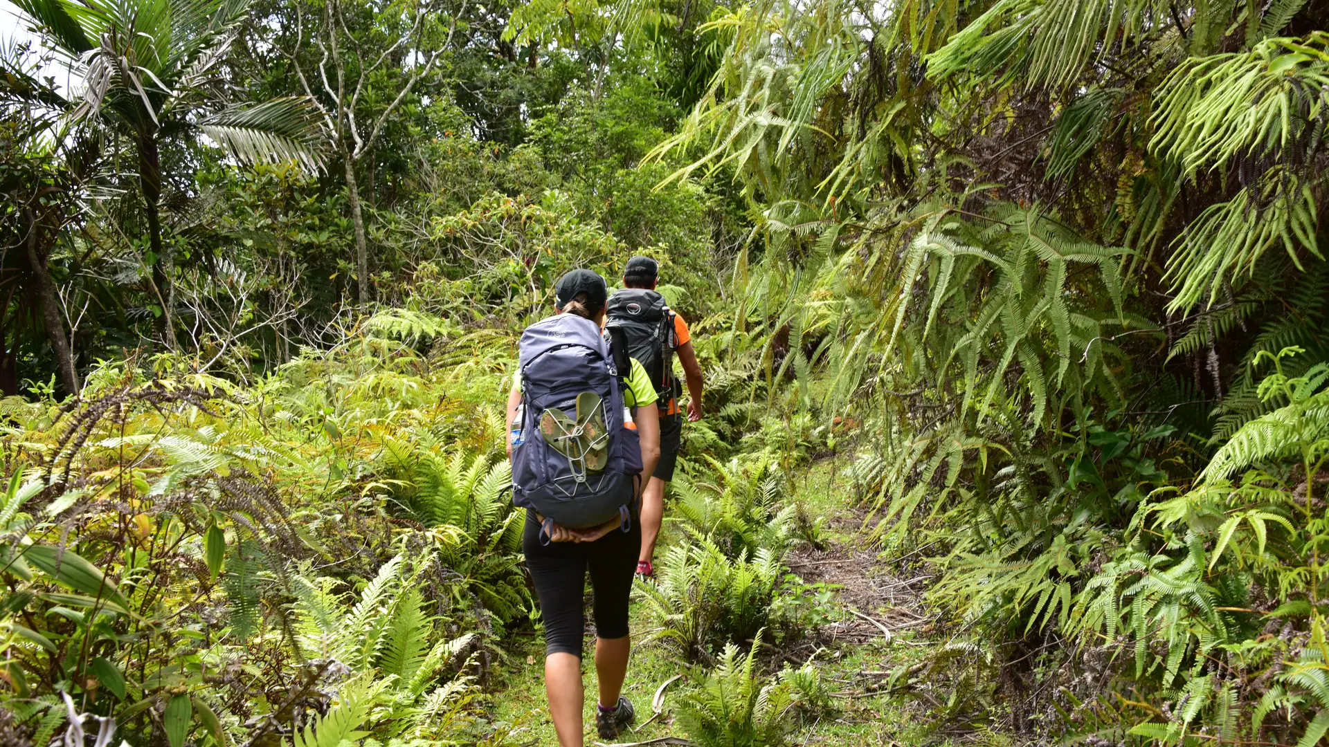
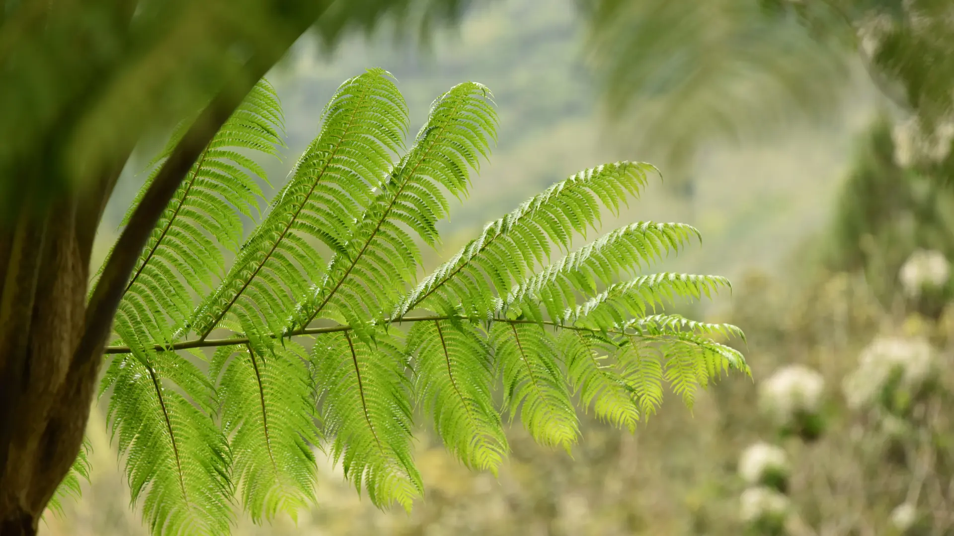
2 Creek (GPS: 530 870 – 7 669 410; alt. 74 m): cross the river and resume the climb [some beautiful views of stands of tree ferns] to reach a grassy platform.
3 Cistern (GPS: 531 118 – 7 669 877; alt. 159 m): continue towards the NE and reach the last ford before attacking the climb towards the ridge.
4 Creek (GPS: 531 590 – 7 669 994; alt. 139 m): cross and climb up to a hairpin bend.
5 Fork (GPS: 531 551 – 7 670 017; alt. 145 m): leave the track and take the path that enters the forest straight ahead. It climbs slowly in the undergrowth via loose switchbacks which allow a comfortable ascent. It leads to the top of the open ridge [beautiful view of the Câba (Tchamba) valley] where a large dead pinus sits enthroned.
6 Crest (GPS: 531 015 – 7 670 943; alt. 414 m; 2 h): follow the edge of the ridge to the west, between forest and savannah, up to a wooded summit [numerous mounds, vestiges of an ancient occupation].
7 Summit of Görö Ö (GPS: 529 519 – 7 671 085; alt. 525 m): the oblique path towards the NNE, crosses a small pass (alt. 483 m) and climbs on the next hill.
8 Summit of Mont-Dore (GPS: 529 390 – 7 671 606 ; alt. 529m; 3 h 15): the route leaves the forest [mound; beautiful view of the Câba valley (Tchamba)] and descends slowly down a ridge covered with small niaoulis. Then, after a shoulder (alt. 484 m), it plunges towards a small pass visible below.
9 Pass (GPS: 529 581 – 7 672 353 ; alt. 323 m): the path slants towards the west and continues its descent to a small trickle of water enclosed in a shred of humid forest.
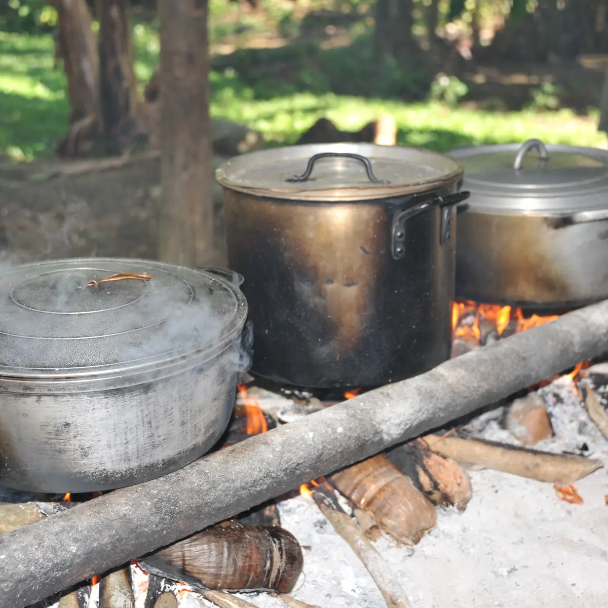
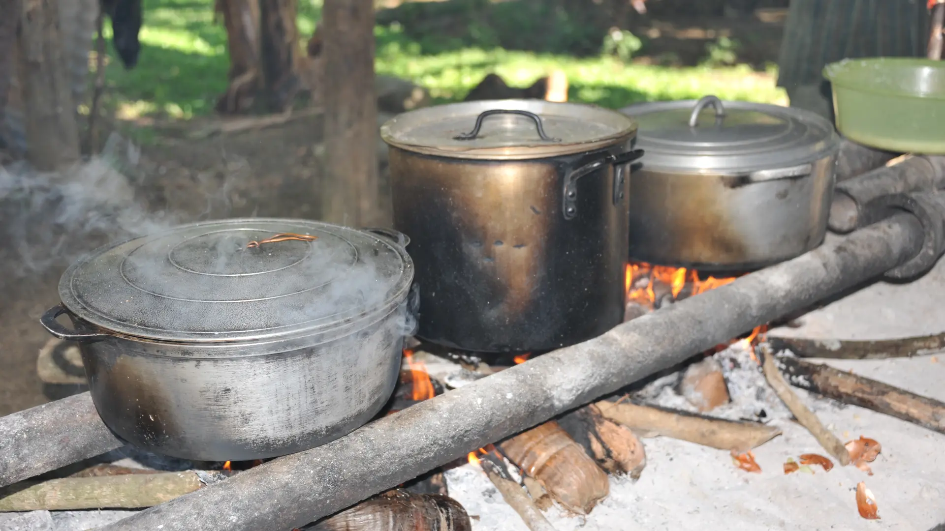
10 Creek (GPS: 529 166 – 7 672267; alt. 222 m) [a camp has been set up there]: cross the creek and resume the descent towards the valley. The path leads to an old grassy track.
11 Track (GPS: 528 750 – 7 672 517; alt. 111 m): head NNE along the course of the Câba (Tchamba) downstream.
12 Gate (GPS: 528 972 – 7 672 749; alt. 64 m): [keep it closed] continue in the same direction.
14 Road (GPS: 529 671 – 7 673 119; alt. 47 m): turn left to the north, cross the bridge and follow the main road to cross the tribe.
15 “Chez Helène” (GPS: 529 925 – 7 673 598; alt. 47 m): [accommodation] continue on the main road towards the NE. Ignore the secondary roads (SE) which lead towards the common house, the hearth and the chapel.