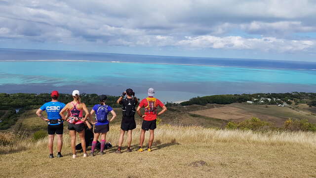
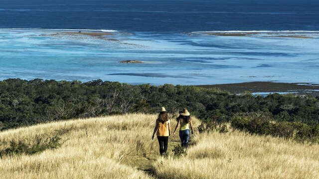
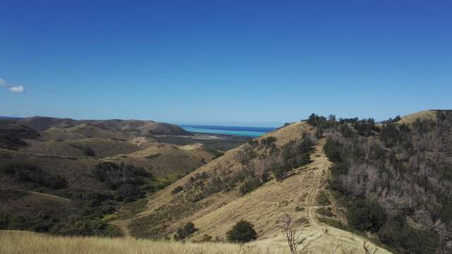
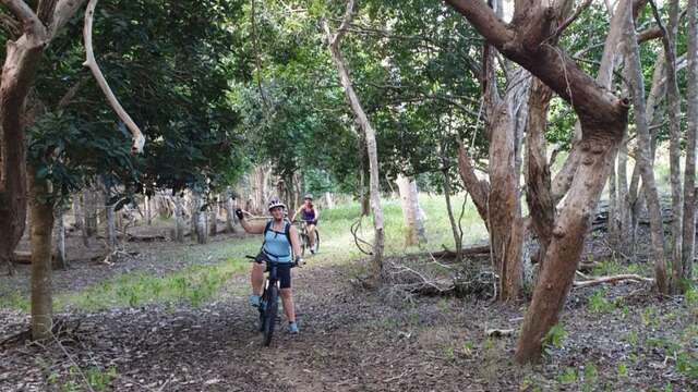
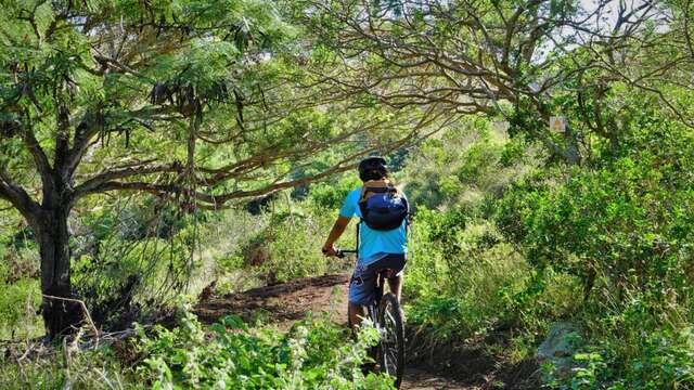
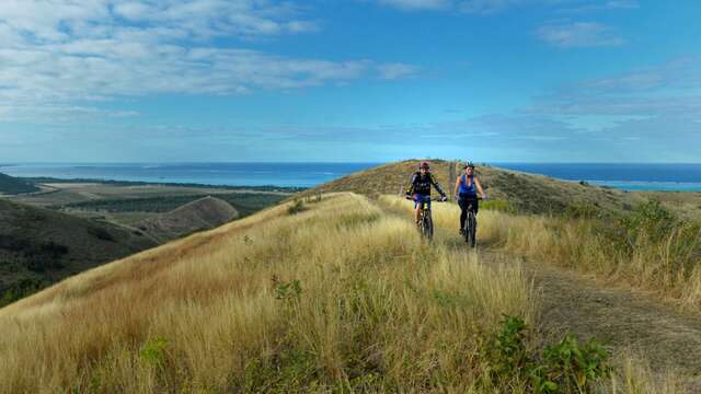
Lurking between the sea and some hills, under the foliage of one of the last dry forests of New-Caledonia, the Fournier marsh of Poé conceals uncommon natural spectacles. A completely flat walking trail
COURSE DESCRIPTION
D Starting point (GPS : 535 454 - 7 613 455 ; alt. 9 m / 29 ft) : leave the car park and go down to the gate. Walk through it and follow the track southward.
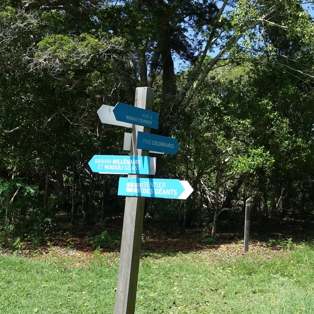
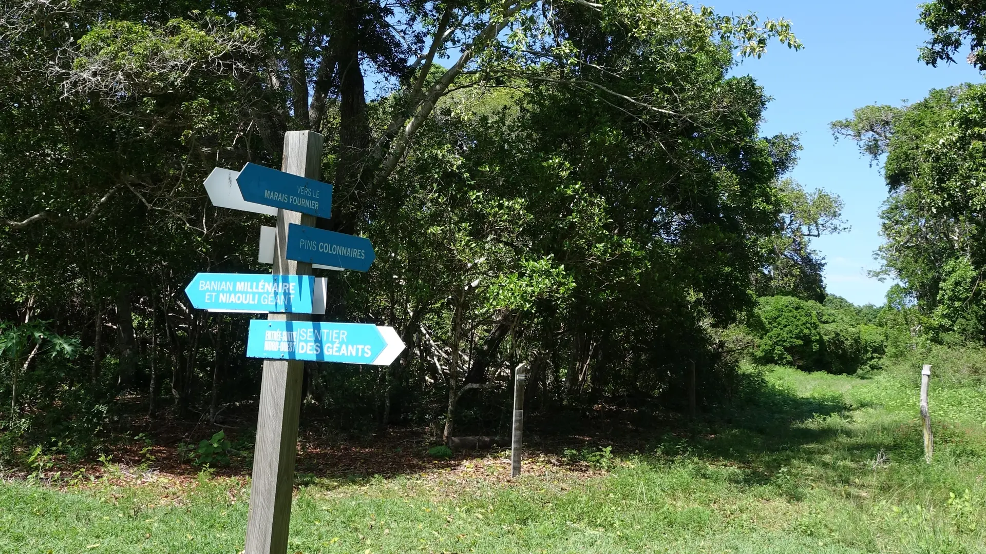
1 Fork (GPS : 535 448 - 7 613 363) (signpost) : turn left. The path peacefully wanders towards the east amongst scarse niaoulis, until it reaches the observatory.
2 Crossroads (GPS : 535 849 - 7 613 133) (signpost) : take a right southwards to get to the observatory access decking.
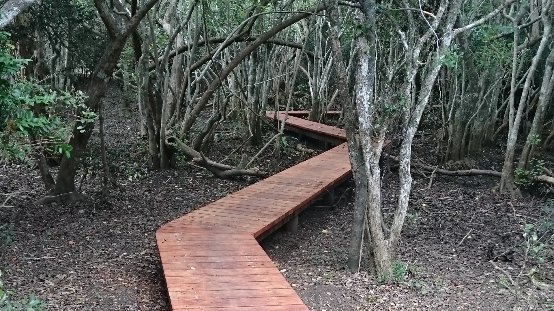
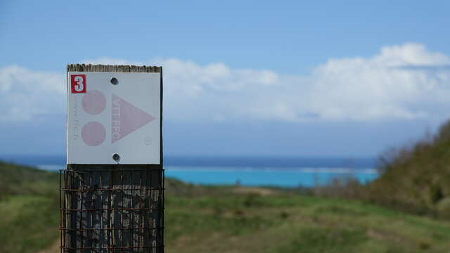
3 Ornithological observatory (GPS : 535 782 - 7 613 024) (built in 2016) : get back to point . Turn right (east). Pass the signpost « Les Forêts sèches du domaine » (« Deva’s dry forests ») and keep on walking eastwards. The path strolls amongst niaoulis and dry forest shreds, before getting out on open terrain.
4 « La lisière de la forêt » signpost (« Edge of the forest »)(GPS : 536 442 - 7 612 768) : the track inclines towards south-southeast in the direction of the No Bouaou creek, invisible and discreetly meandering into the vegetation.
5 Crossroads (GPS : 536 485 - 7 612 471) (signpost - location signboard) : take a right westwards ( the track that goes eastwards to the left is a link to the « Forest of the Origins » trail). Then, the track continues its course in the direction of the west.
6 « Le bosquet des Bancouliers » signpost (« Bancouliers’ grove ») (GPS : 536 247 - 7 612 548) : keep on strolling westwards in the sweltering undergrowth.
7 Intersection (GPS : 536 102 - 7 612 470) (location signboard the left track (south) joins the « Forest of the Origins » trail thanks to a footbridge over the No Bouaou) : To stay on the « Giants trail », continue straight ahead.
8 Fork (GPS : 536 017 - 7 612 494) : take a right to the north. Pass
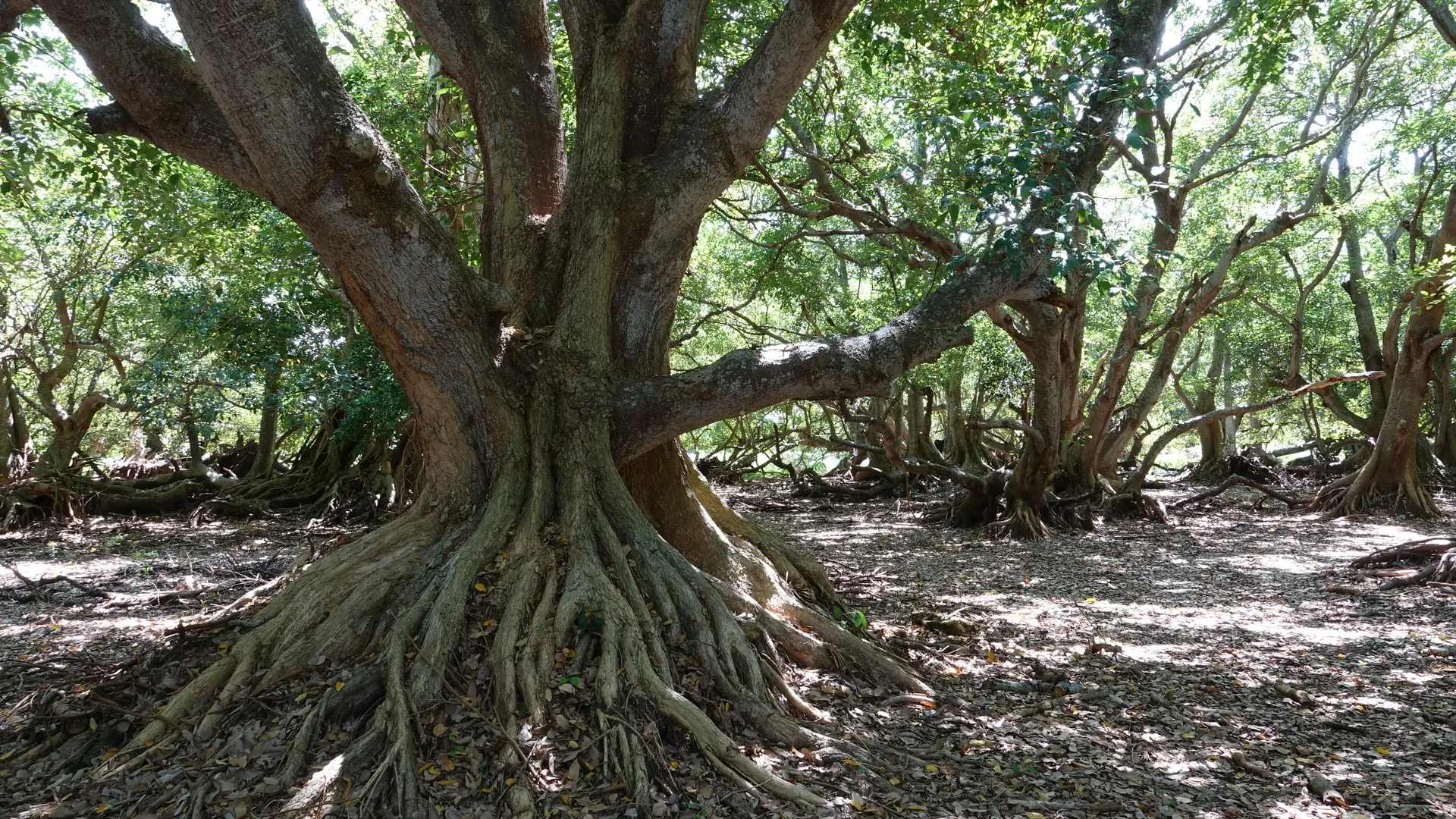
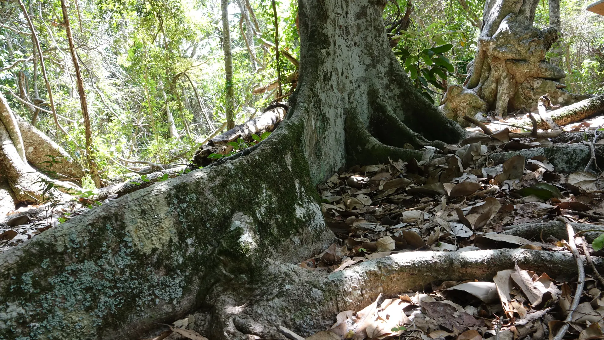
9 « Le Niaouli Géant » signpost (« The Giant Niaouli ») (GPS : 536 027 - 7 612 565) : get back to point and take a right. Go beyond the « Les stratégies » signpost and then pass « Les plantes » signpost.
10 Crossroads (GPS : 535 652 - 7 612 694) : keep walking straight ahead towards northwest (an unmarked track goes left, to the south ; it leads to a Cook pine grove, delimiting a former mound).
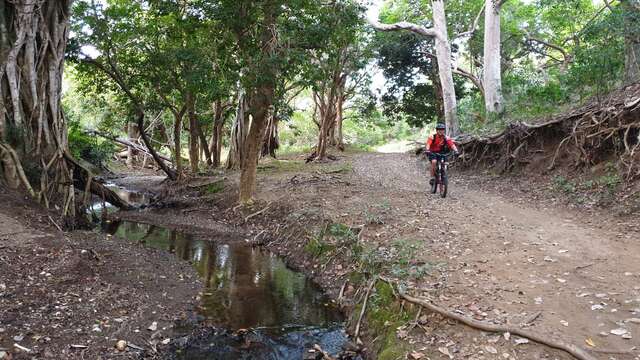
11 Creek (GPS : 535 196 - 7 613 071) : it is often dry. Walk westwards, and then northwards. Get out of the woods.
12 Crossing with a MTB trail (GPS : 535 076 - 7 613 329) : the pathway slightly curves to the north-northeast and then gets back to point where it goes up to the car park.